-
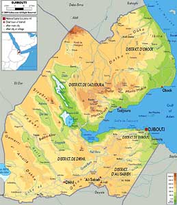
- Djibouti Map
|
-
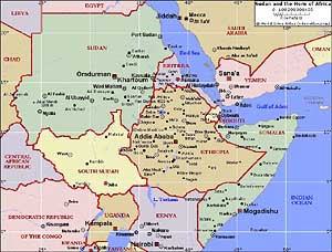
- Map
of the Horn of Africa
|
|
-
|
- latest picture:
November 27, 2015
|
|
-
-
|
-
-
|
-
-
|
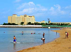
- 001
Beach at the “Djibouti Palace
- Kempinski Hotel”. It is the only real
- beach in Djibouti City
|
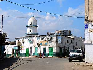
- 002
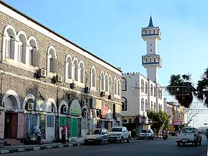
The Hamoudi Mosque, built in
- 1906, is a landmark in the
- “African Quarter” of Djibouti City
|
- 003
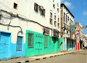
It is Friday, the Muslim “Sunday”:
- The streets at the “African Quarter”
- of Djibouti City are deserted
|
-
|
-
-
|
-
-
|
-
-
|
- 004
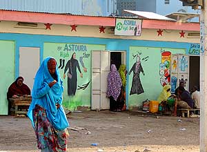
Next to the Nouriye Mosque at
- Rue de Geneve in Djibouti City there
- is an attractive house facade
|
- 005
Looking at the painting of the house
- facade, it can only be a dress shop!
|
- 006
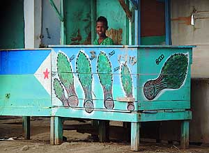
A price list of qat (Catha edulis)
- – the leaves that stimulate.
- They are sold in bunches
|
-
|
-
-
|
-
-
|
-
-
|
- 007
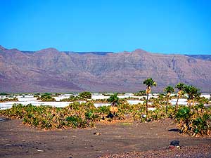
A salt plain dotted with palm
- trees nestles at the foot of the bleak
- Yaguer mountain range (4’587ft) [1’398m]
|
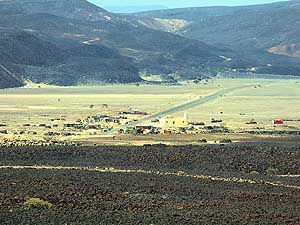
- 008
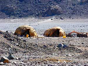
Afar people are nomads and
- predominantly Muslim and live not only
- in Ethiopia but also in Djibouti
|
- 009
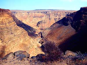
On the way to Lac Assal: Some
- call it “Mini Grand Canyon” – a bit
- exaggerated, but still impressive. An
- industrial salt production plant including
- complete mining infrastructures (roads,
- port of loading, etc.) is currently built
|
-
|
-
-
|
-
-
|
-
-
|
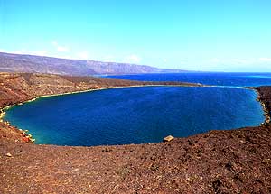
- 010
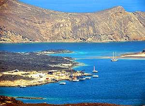
The ride along the Bay of
- “Le Goubet” reveals enchanting views:
- Here towards the future loading port
- of the salt from Lac Assal
|
- 011
Embedded into black volcanic
- rock are the makeshift dwellings
- and the little mosque of Koussour
|
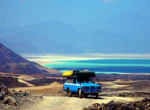
- 012
Our LandCruiser with the
- beautiful backdrop of the Assal Saltlake.
- It lies at 509ft. [155m] below sea level
- and marks the lowest point in Africa
|
-
|
-
-
|
-
-

|
-
-
|
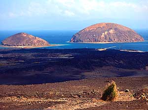
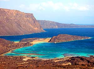
- 013
The volcanic islands “Îles du Diable”
- rise from the turquoise waters of the “Le
- Goubet” Bay – right the island of “Ginni
- Kôma”, left “Ounda Ginni Kôma”
|
- 014
Our LandCruiser jolts on the
- volcanic rock piste to one of the tourist
- camps (campement touristique) at the
- bay of “Le Goubet” …..
|
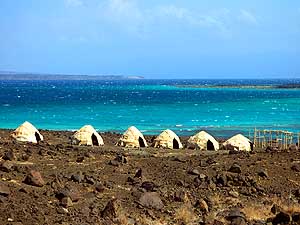
- 015
….. the simple accommodation
- is erected in the style of
- huts of the Afar tribe
|
-
|
-
-
|
-
-
|
-
-
|
- 016
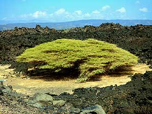
A stately acacia (Acacieae)
- developed wonderfully between the
- black volcanic rock along the RN9 to
- Tadjoura between the Ardoukôba
- volcano and “Le Goubet”
|
- 017
|
- 018
|
|
Endless beautiful sights to the bay of “Le Goubet” |
-
|
-
-
-
-
|
-
-
|
-
-
-
-
|
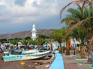
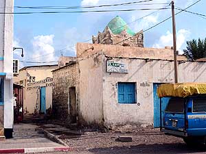
- 019
The sleepy village street of Tadjoura
- runs picturesquely along the seashore
- and has a distinctive Arabian character
|
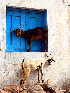
- 020
“Sorry, there is space for
- only one of us on the windowsill!”
|
- 021
Our LandCruiser discovers
- Tadjoura with its narrow alleys and
- white-washed houses
|
-
|
-
-
|
-
-
|
-
-
|
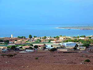
- 022
The sleepy fishing village of
- Tadjoura with the bright blue sea right at its
- doorstep – view from the road to Obock
|
- 023
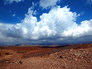
Impressive cumulus clouds tower
- over Djibouti’s mountain desert –
- forerunners of the thunderstorm
- in the afternoon
|
- 024
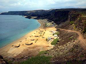
Beach and Hotel “Les Sables Blancs“
- 4½ miles [7km] east of Tadjoura: A golden
- strip of sand with round beach bungalows
- at a quiet bay
|
-
|
-
-
|
-
-
|
-
-
|
- 025
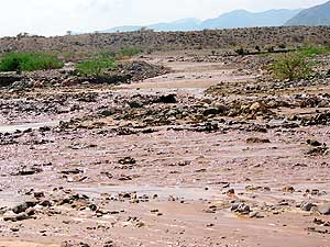
Violent flash floods from the Goda
- Mountains made the Dariyyou River to
- rise so much that the road to Djibouti City
- got interrupted at three places .....
|
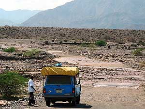
- 026
.…. no way to cross today!
- May be tomorrow?
|
- 027
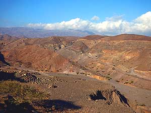
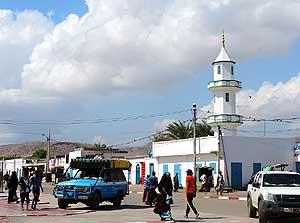
The arid landscape of Tadjoura
- reminds us to Oman on the Arabian
Gulf
|
-
|
-
-
|
-
-
|
-
-
|
- 028
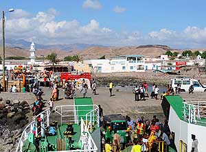
We park our LandCruiser in front
- of the little harbor of Tadjoura and enquire
- about the ferry rates to Djibouti City …..
|
- 029
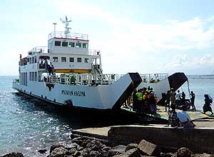
….. the ferry just berthed. The
- LandCruiser including
driver costs
- DJF 6’000 (= US$35.30), a passenger
- DJF 700 (= US$4.10) …..
|
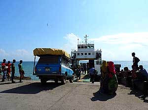
- 030
….. people, goats and cars come
- on board. The scene is colorful and
- reminds us of the Indonesian
- ferry crossings
|
-
|
-
-
|
-
-
|
-
-
|
- 031
Emil drives our LandCruiser onto
- the “Mohamed Bourhan Kassim” ferry,
- a gift from
Japan. It brings us back in
- two hours to Djibouti City
|
- 032
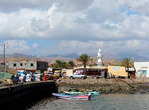
View from the ferry back to
- the jetty and the minaret of Tadjoura
|
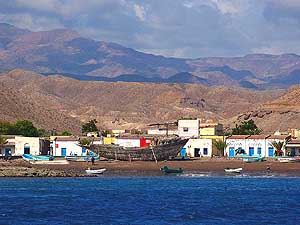
- 033
White-washed houses with blue
- doors line the seashore of Tadjoura. A
- dhow is being repaired in the foreground;
- in the background the Dadar mountains
|
-
|
-
-
|
-
-
|
-
-
|
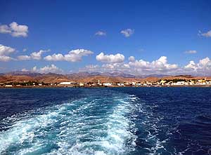
- 034
The charming fishing village of
- Tadjoura at the foot of the Goda Mountains
- is merely a small slip of land when the
- ferry is off to the sea
|
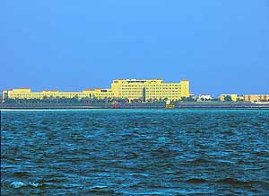
- 035
A landmark of Djibouti City:
- The “Djibouti Palace Kempinski Hotel”
- – seen from the sea
|
- 036
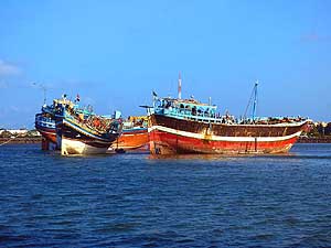
Three dhows are anchoring
- in the port of Djibouti City
|
-
|
-
-
|
-
-
|
-
-
|
- 037
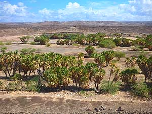
Towards the Ethiopian border,
- the arid plain is covered with
- clusters of palm trees
|
- 038
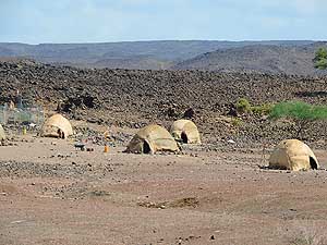
How can Afar nomads set up their
- camp in such an inhospitable place?
- In summer, the temperatures
- can soar up to 122°F [50°C]
|
- 039
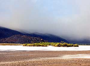
A sandstorm develops as we
- are returning to the Ethiopian border
|
-
|
- Back to the 1st part of the Ethiopian trip:
Ethiopia Part
1
– October
25th to November 18th, 2015, from Kenya to
Djibouti
- Continuation to the next Ethiopian page:
Ethiopia
Part 2
–
November 27th to December 9th, 2015, from Djibouti to
Sudan
|
-
- The "Greater"-Middle East trip 2012/13:
- Sharjah/Dubai/1st Traveler's Festival/Emirates
National Auto Museum - UAE with
car Nov. 2012 to Jan. 2013 - part 1
- Western UAE - Liwa - United Arab Emirates with car in January 2013 - part 2
- Oman 2013 – Part 1 - February
2013: Musandam Peninsula
- Oman 2013 – Part 2 - February
2013: Sohar - Muscat - Rustaq - Nizwa
- Oman 2013 – Part 3 - March
2013: Sur - East Coast - Island of Masirah - Dhofar
- Oman 2013 – Part 4 - March
2013: Salalah & Surroundings (Dhofar) - Nizwa
- Oman 2013 – Part 5 - March 2013: Western Hajar
Mountains
- Al Ain, Eastcoast & Ras al Khaima - United
Arab Emirates with our car in April 2013 -
part 3
- Iran - part 1: Ferry Port Bandar Abbas-Shiraz-Persepolis-Pasargad (between Persepolis and Yazd)
– May 2013
- Iran - part 2: Pasargad
(excl.)-Yazd-Esfahan – May 2013
- Iran - part 3: Esfahan
(excl.)-Chelgerd-Hamadan-Sanandaj-Orumiyeh – May 2013
- Turkey - Esendere-Hakkari-Van-Dogubayazit-Kars-Ardahan-Hopa-Georgia
Border – May/June 2013
- Georgia - part
1: Ajaria-Gori-Tbilisi-Kakheti-Azerbaijan
Border – June 2013
- Azerbaijan: Georgia Border-Balakən-Şəki-Lahıç-Baku-Xınalıq-Quba-Laza-Baku-Gəncə-Georgia Border – June 2013
-
Georgia - Part 2a: Azerbaijan Border-Tbilisi-Armenia
Border –
June/July 2013
- Armenia part 1 – July 2 to 9, 2013: Georgia Border - Akhtala - Haghpat
- Dilijan - Lake Sevan - Selim - Arates - Nagorno-Karabakh
- Nagorno-Karabakh:
Armenia-Stepanakert-Gandzasar-Martakert-Tigranakert-Tnjri-Shoushi-Armenia – July
- Armenia -
Part 2:
Nagorno-Karabakh-Goris-Tatev-Noravank-Khor Virap-Echmiadzin-Yerewan-Geghard-Gyumri-Georgia Border – July 2013
- Georgia -
Part 2b: Armenia Border-Ninotsminda-Tbilisi-Mtskheta-Kazbegi-Kutaisi-Zugdidi –
July 2013
- Georgia -
Part 3a:
Zugdidi-Swaneti-Zugdidi-Abkhazia Border – July/August 2013
- Abkhazia: Georgia-Sukhumi-Tsebelda-Novyy Aton-Lake
Ritsa-Gagra-Pitsunda-Georgia – August
2013
- Georgia - Part 3b: Abkhazia Border-Poti-Ferry to Ilyichevsk/Ukraine
– August 2013
|
-
|
![]()
